
Hoxa Head lighthouse
photos: © Orkney.com
Orkney Islands

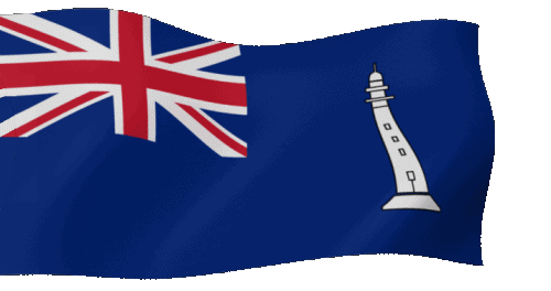
Commissioners' Flag of the NLB
In Salutem Omnium
For the Safety of All
In Salutem Omnium
For the Safety of All

Under Construction
Place of the lighthouse
Hoxa Head
A3610![]()
Character: Fl WR 3s 15m 9-6NM
(fl. 0.3s - ec. 2.7s)


| Engineer | : David Alan Stevenson (1854-1938) |
| Lat, Lon | : 58°49.3' N, 003°02.1' W |
| Established | : 1901 |
| Character | : Flashing WR every 3 sec. |
| Range | : W: 9 NM ~ 17 km R: 6 NM ~ 11 km |
| Elevation | : 15 meters above sealevel |
| Tower | : 13 meters |
| Init. Costs | : £ ?. |
| Econ. Costs* | : £ ?. |
| *) According to: MeasuringWorth.com | |
| Automated | : 1980 |
| Last Keepers | : PLK - ? |
| : ALK - ? | |
| : ALK - ? | |
| Fog horn | : No |
| Status | : Operationel |
| Authority | : Northern Lighthouse Board |
| Remarks | : Solar power |


| References: | |
|---|---|
| xxxxx | - xxxxx |
 Update: 12-02-2024