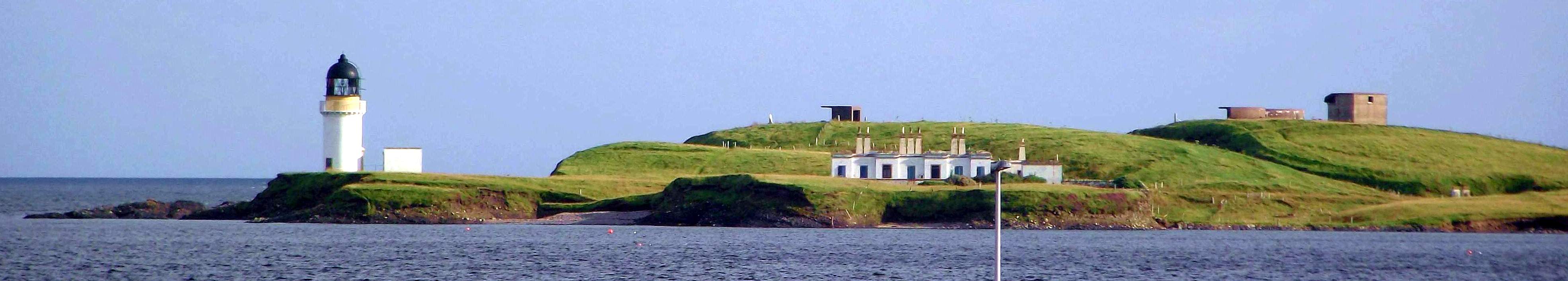
Arnish Point lighthouse
photo: © Wikipedia Commons
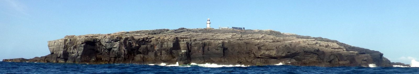
Barra Head lighthouse
photo: © Northern Lighthouse Board
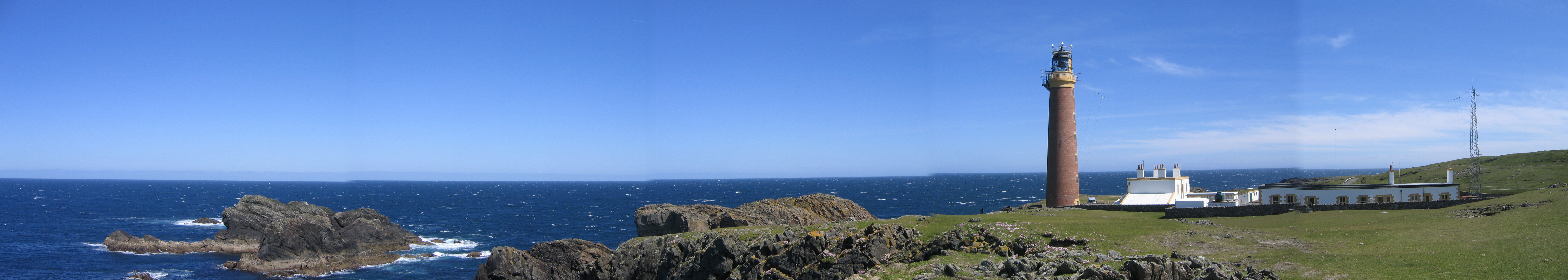
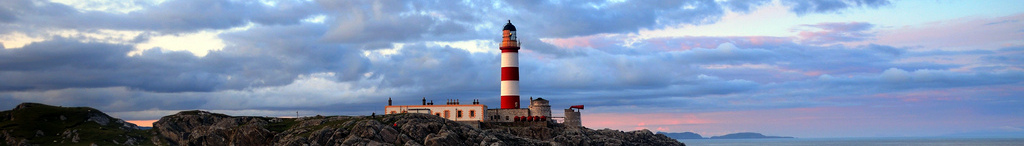
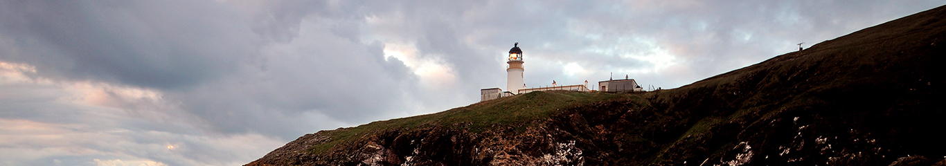
Butt of Lewis lighthouse
photo: © Bob Schrage
Eilean Glas lighthouse
photo: © Wikipedia Commons

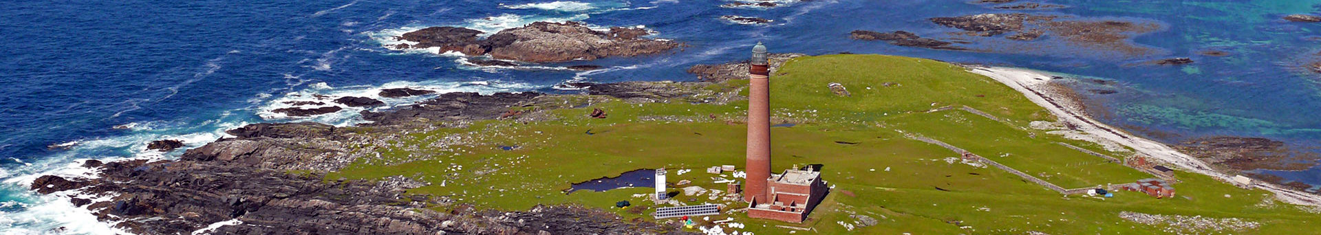
Flannan Isles lighthouse
photo: © Public Domain
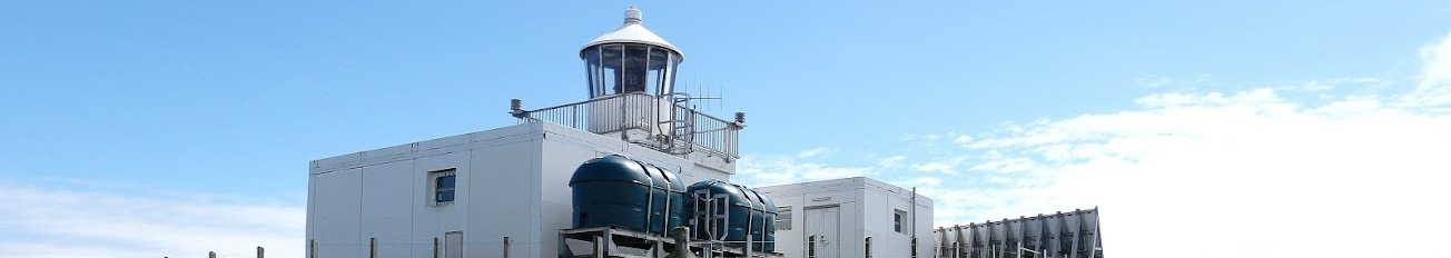
Haskeir lighthouse
photo: ©
Monarch Isles lighthouse
photo: © Northern Lighthouse Board
North Rona lighthouse
photo: © John Doh
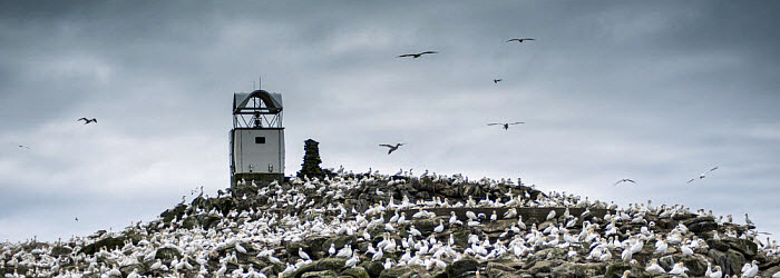
Sula Sgeir lighthouse
photo: © George Stoyle
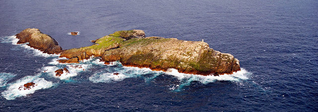
photo: © Stephan Branley
Tiumpan Head lighthouse
photo: © Ian Cowe
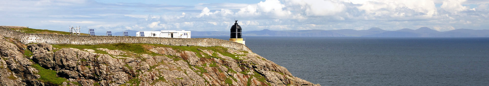
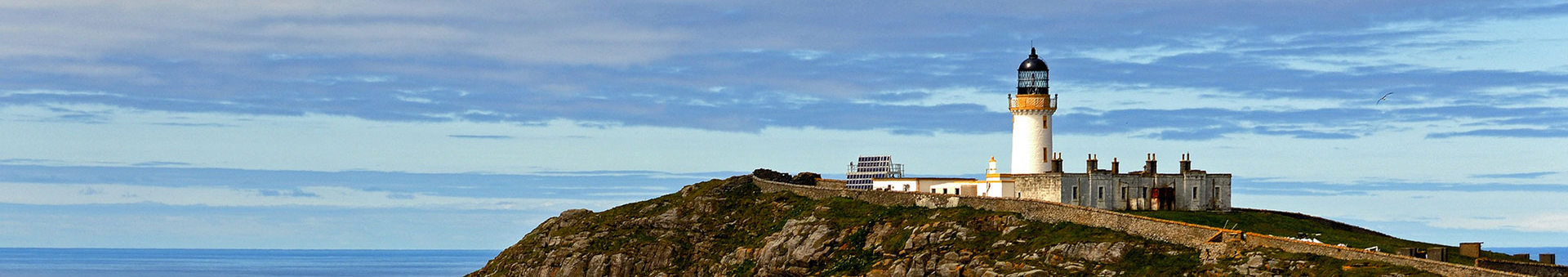
Ushenish lighthouse
photo: © Ian Cowe
Outer Hebrides

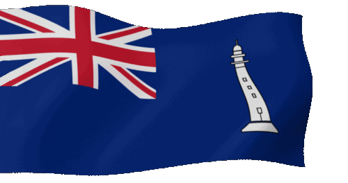
Commissioners' Flag of the NLB
In Salutem Omnium
For the Safety of All
In Salutem Omnium
For the Safety of All
 Update: 01-03-2025