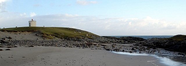
Carraig Fhada lighthouse
photo: © Andrew Locking

Duart Point lighthouse
photo: © Uklighthousetour

photo: © Northern Lighthouse Board
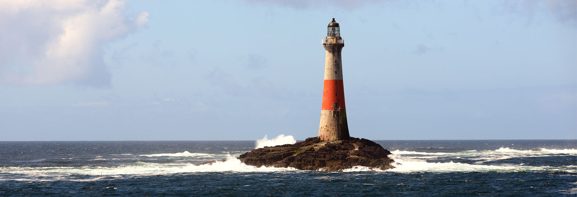
Dubh Artach lighthouse
photos: © Northern Lighthouse Board
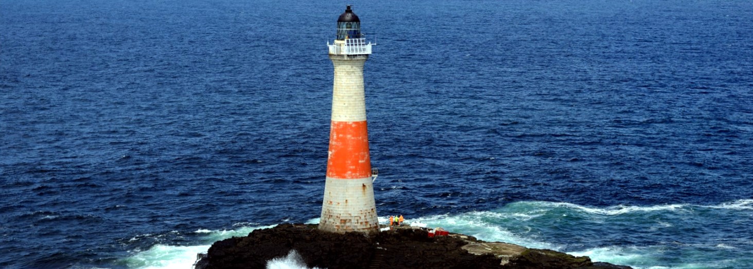
photo: © Ian Cowe
Fladda lighthouse
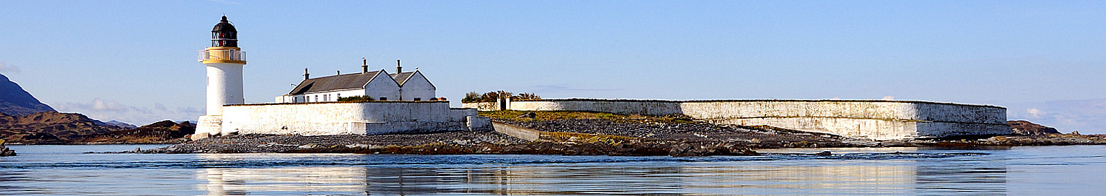
Hyskeir lighthouse
photo: © Jean Guichard
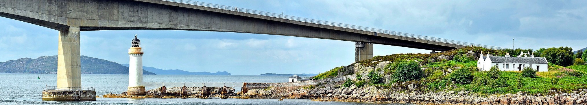
Kyleakin light and Sky bridge
Lismore lighthouse
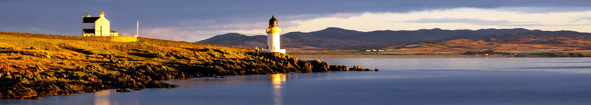
Loch Indaall lighthouse
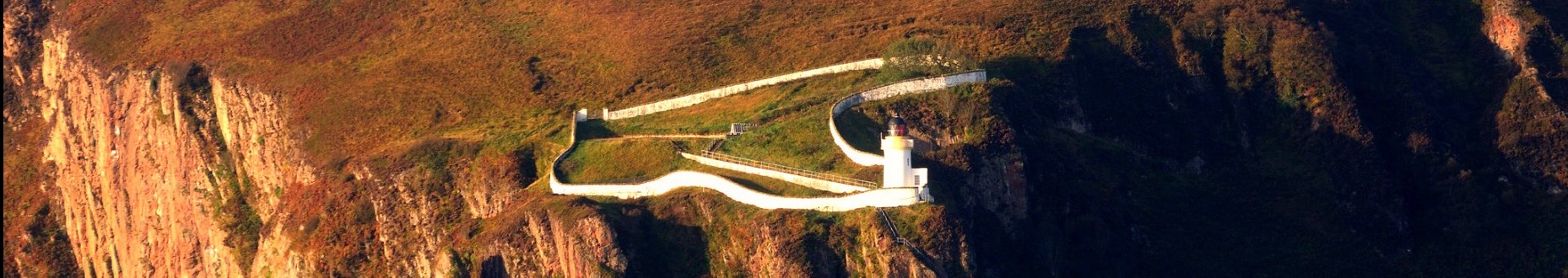
McArthurs Head lighthouse
photo: © Ian Cowe
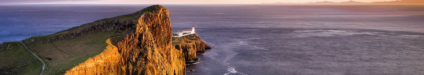
Neist Point lighthouse

Ornsay lighthouse
photo: © Scottish Landscape
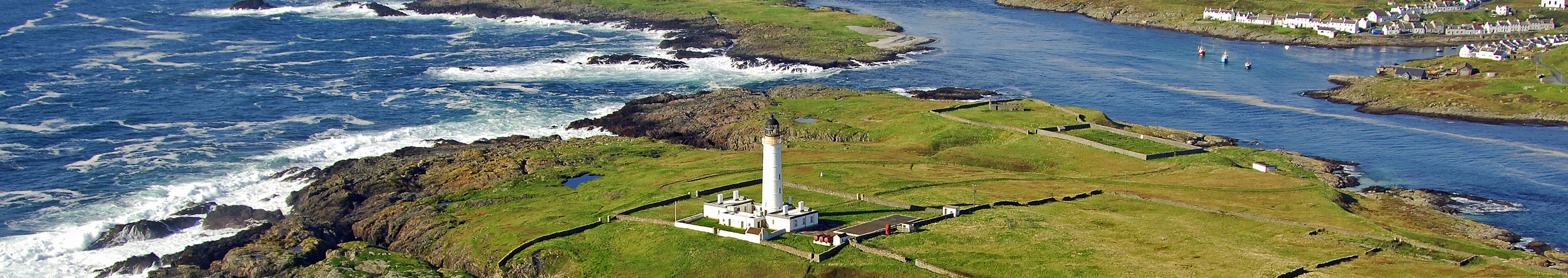
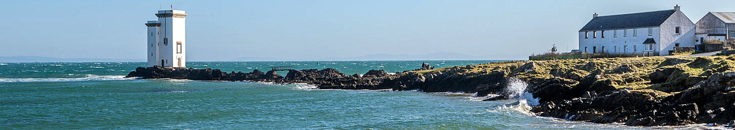
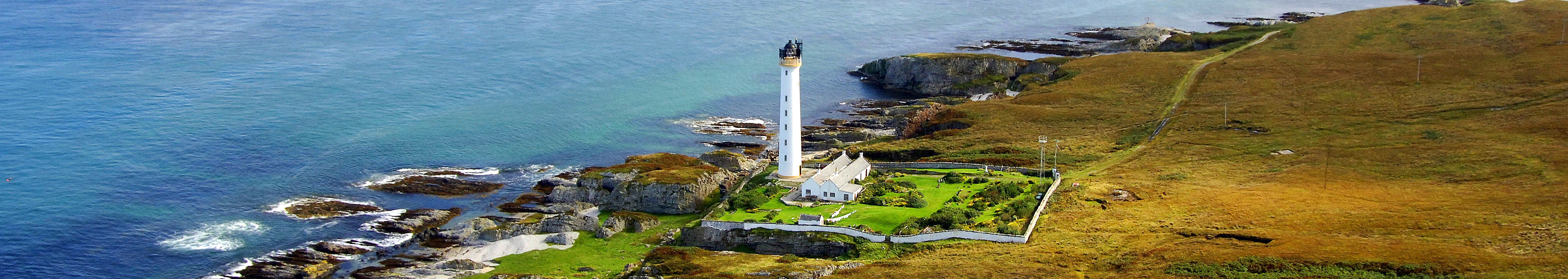
Rhinns of Islay lighthouse
photo: © Marinas.com
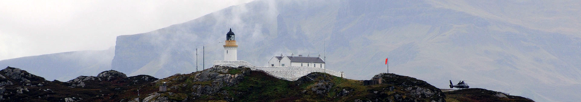
Rona lighthouse
photo: © Northern Lighthouse Board

Rubha Nan Gall lighthouse

photo: © Northern Lighthouse Board
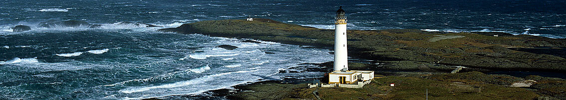
Ruvaal lighthouse
photos: © Marinas.com
Scarinish lighthouse

Skerryvore lighthouse
photo: © Tiree Sea Tours

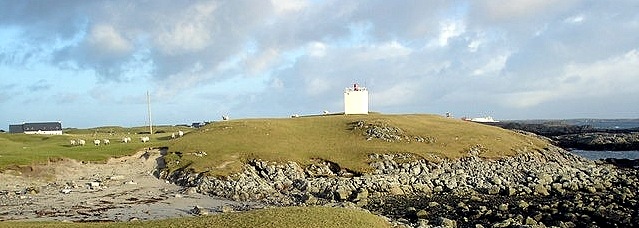
Skervuile lighthouse
photo: ©
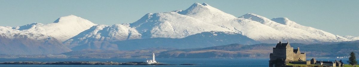
Inner Hebrides

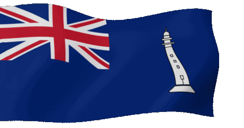
Commissioners' Flag of the NLB
In Salutem Omnium
For the Safety of All
In Salutem Omnium
For the Safety of All
 Update: 01-03-2025