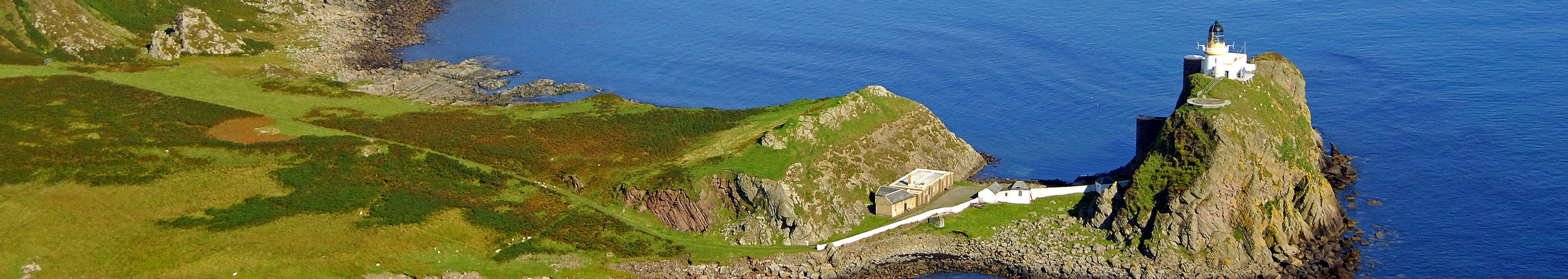
Ailsa Craig lighthouse
photos: © Wikipedia Commons
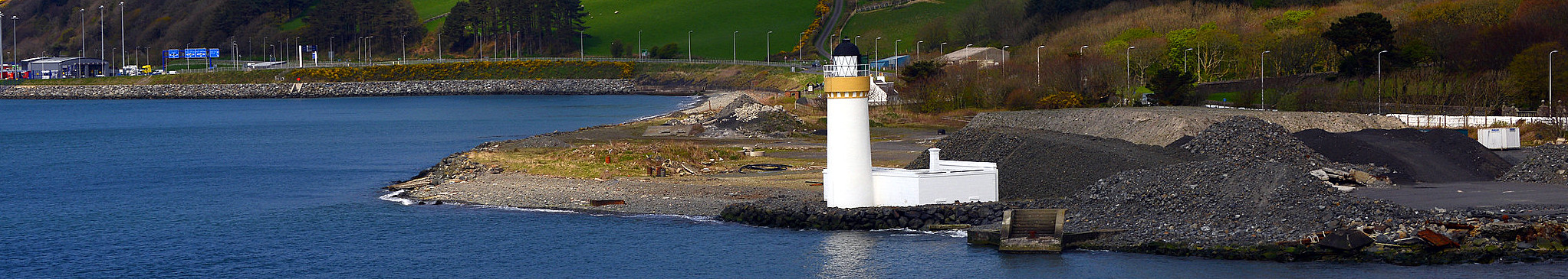
Cairn Point lighthouse
photos: © Chris Newman
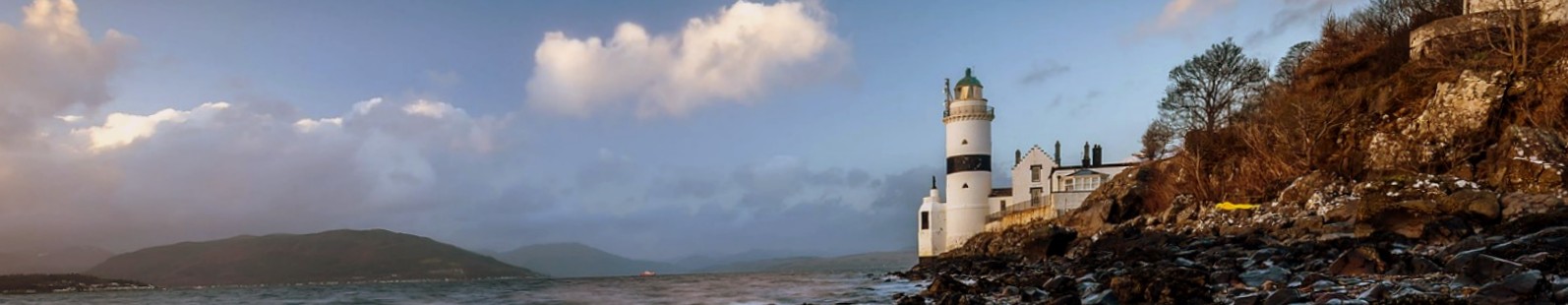
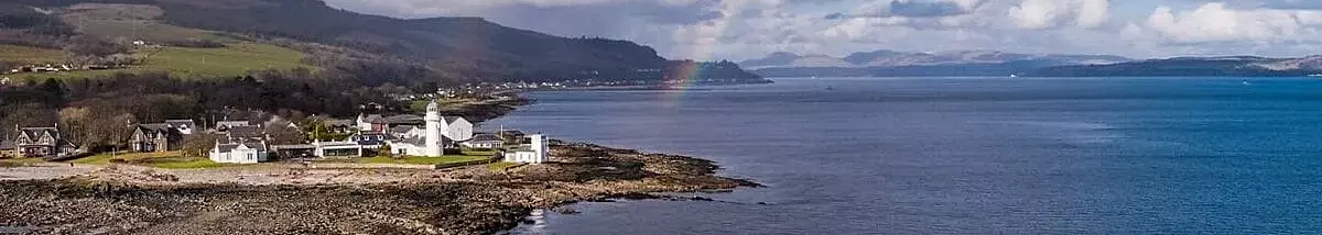
Cloch Point lighthouse
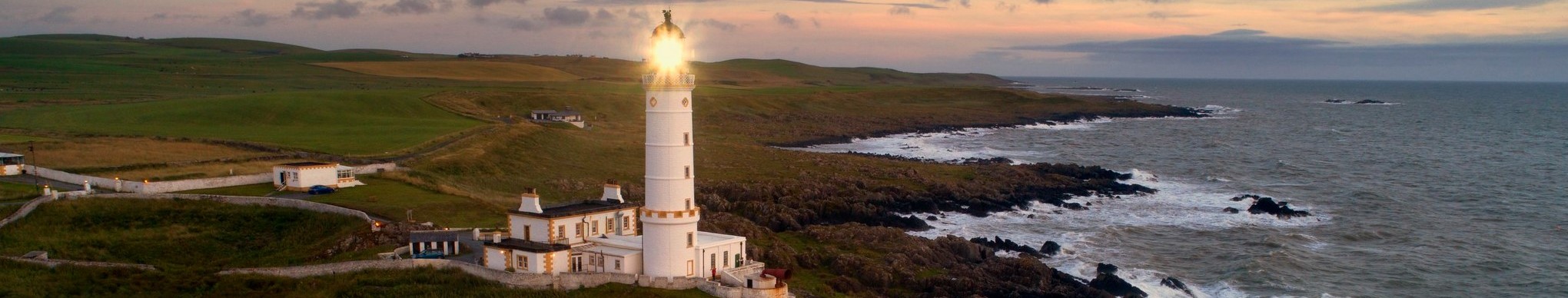
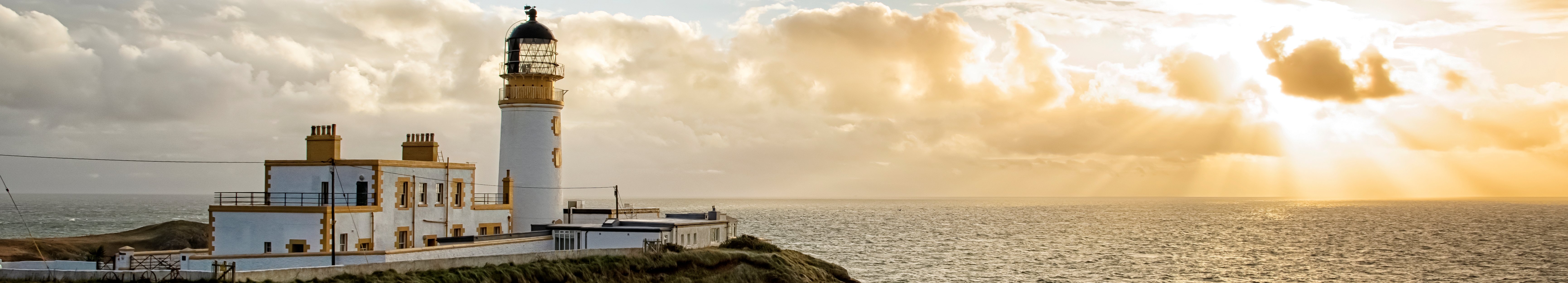
Corsewall lighthouse
photos: © Northern Lighthouse Board
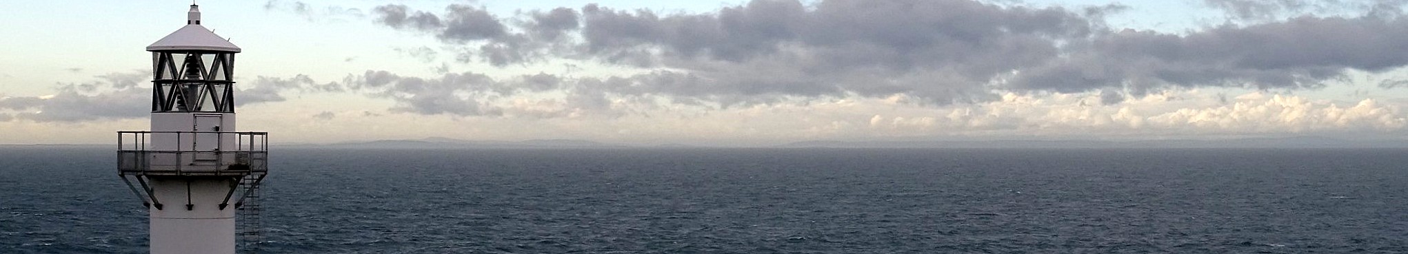
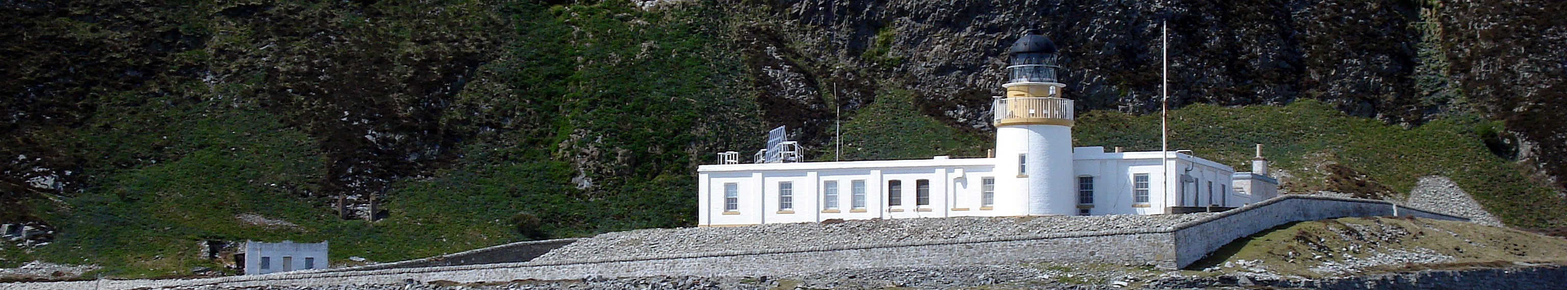
Crammag Head lighthouse
photos: © Uklighthousetour
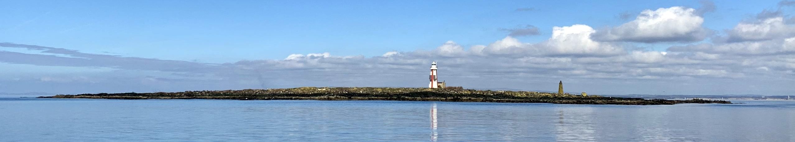
Davaar lighthouse
photos: © Wikipedia
Holy Island (Inner) lighthouse
photos: © Marinas.com
Holy Island (Outer) lighthouse
photos: © Northern Lighthouse Board
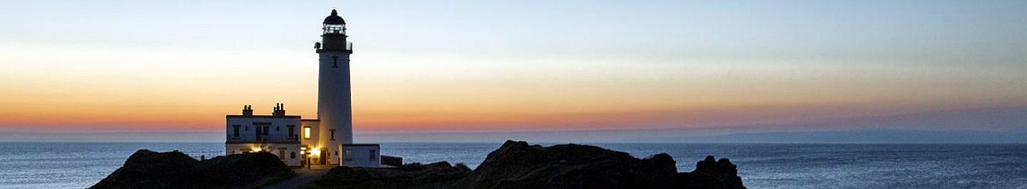
Killantringan lighthouse
Lady Isle lighthouse
photos: ©
Little Cumbrae lighthouse
photos: ©
Little Ross lighthouse
photo: ©
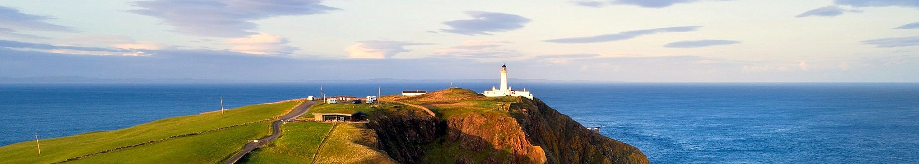
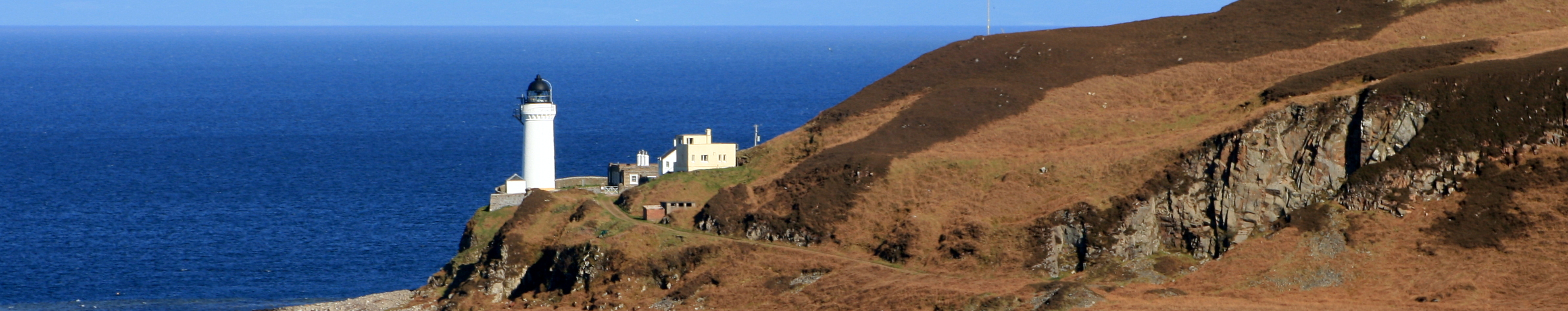
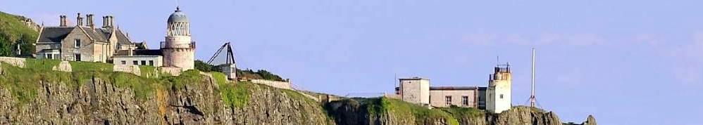
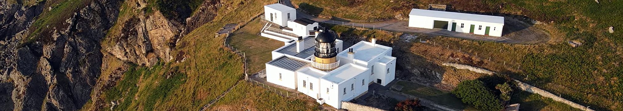
Mull of Galloway lighthouse
photos: © Ian Cowe
Mull of Kintyre lighthouse
photos: © Alex Explorer
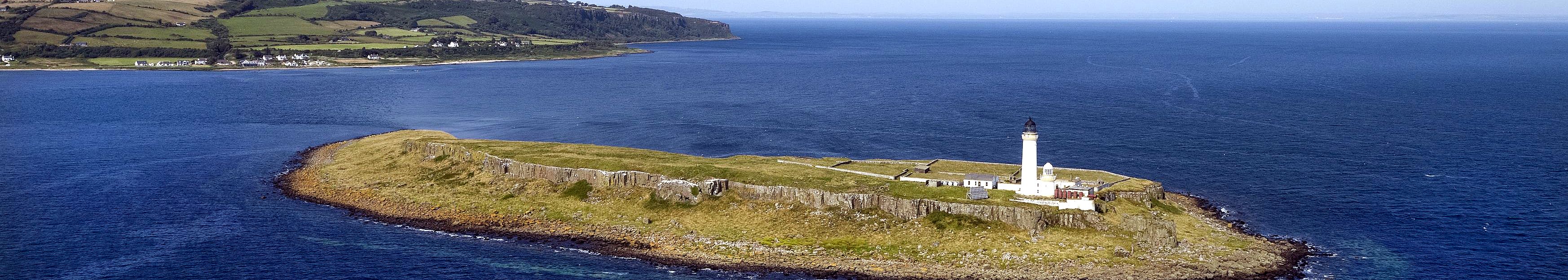
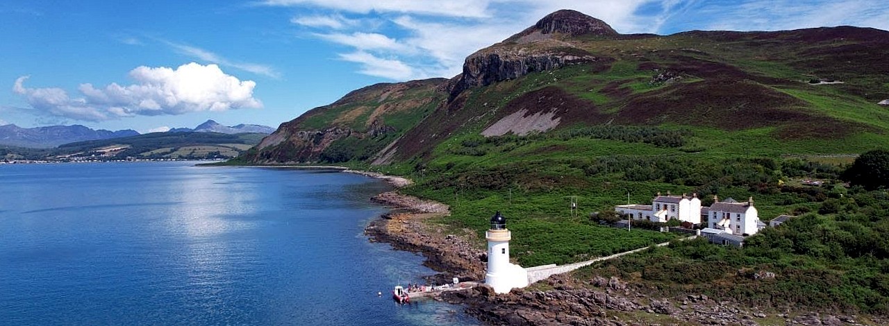
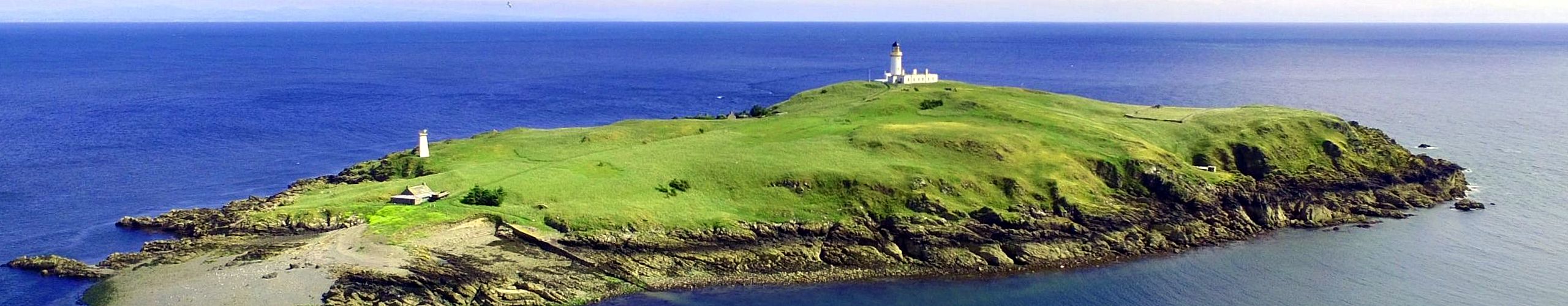
Pladda lighthouse
photo: ©
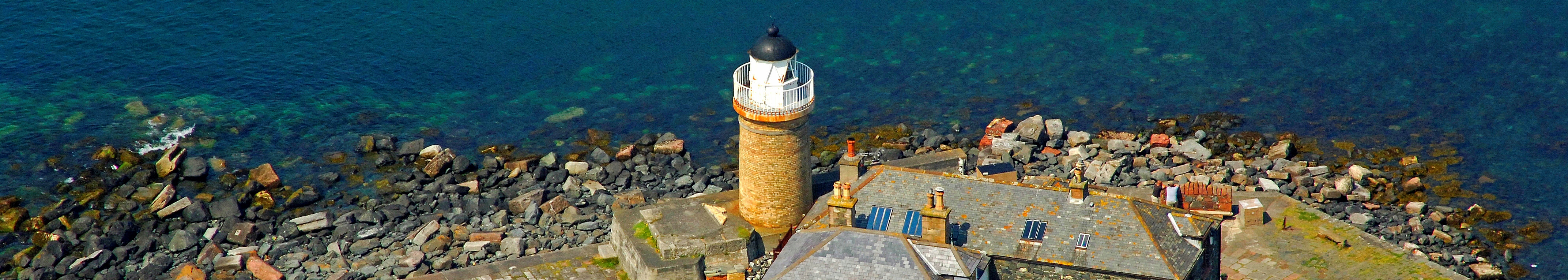
Portpatrick lighthouse
Sanda lighthouse
photo: © Marinas.com
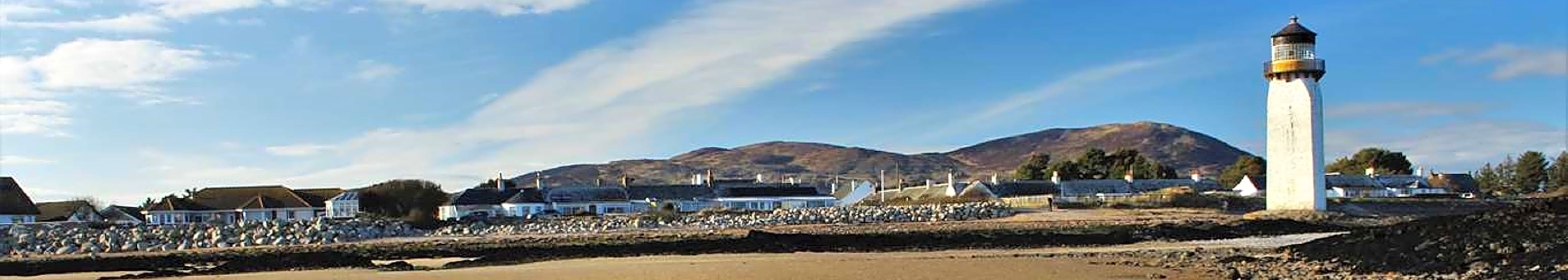
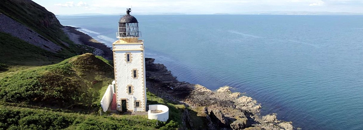
Southerness lighthouse
Toward Point lighthouse
photos: ©
Turnberry lighthouse
photo: ©
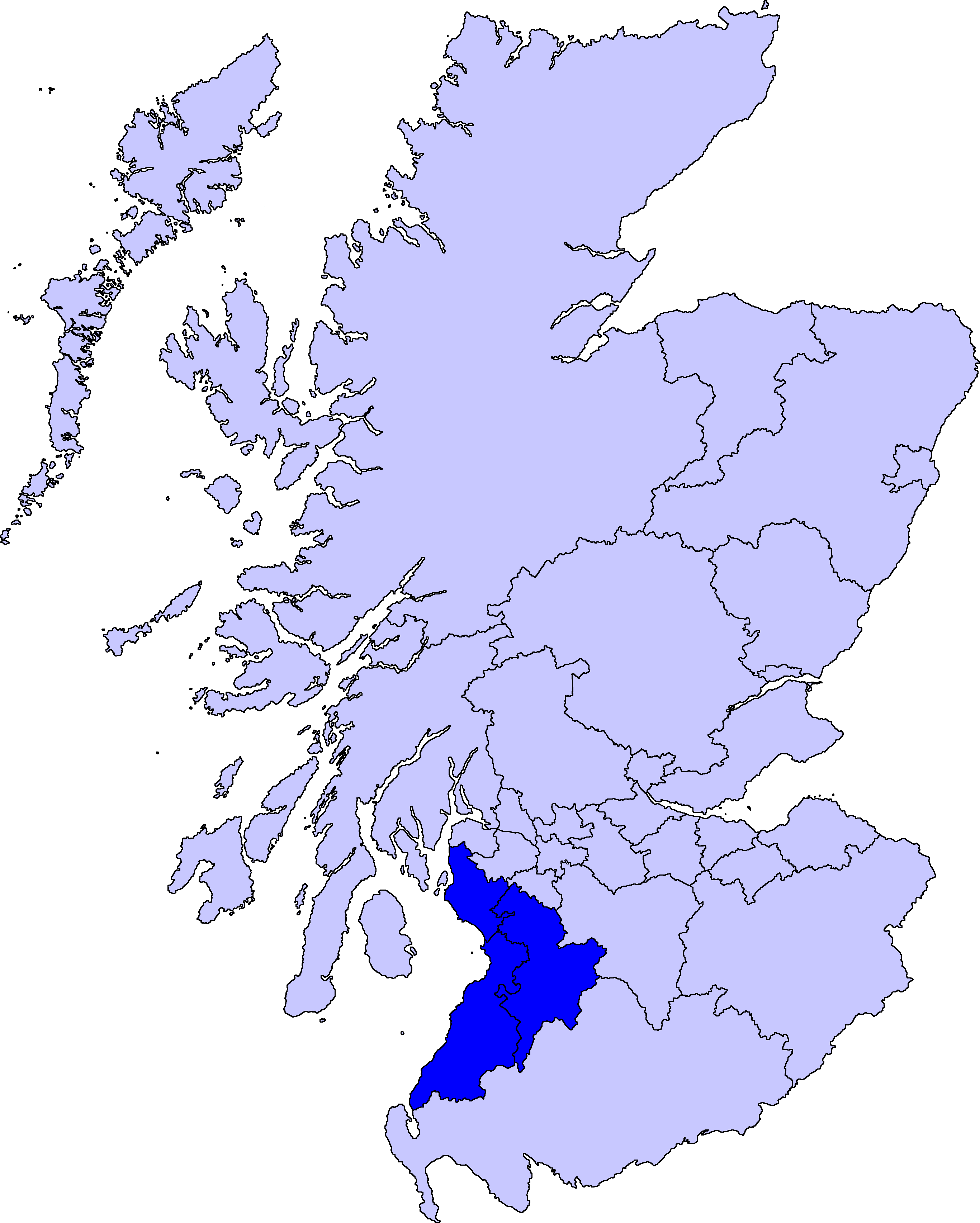
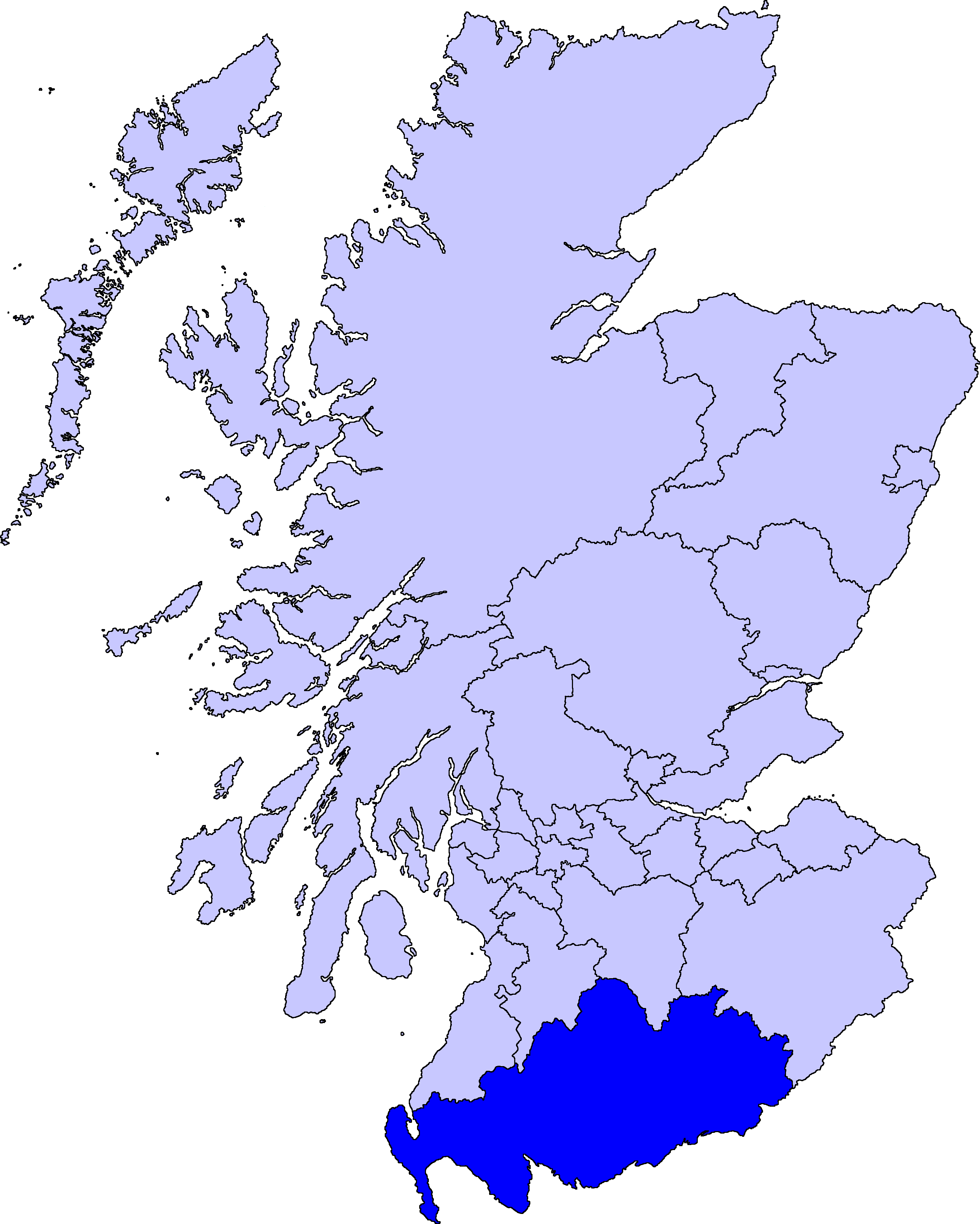
Southwest Coast

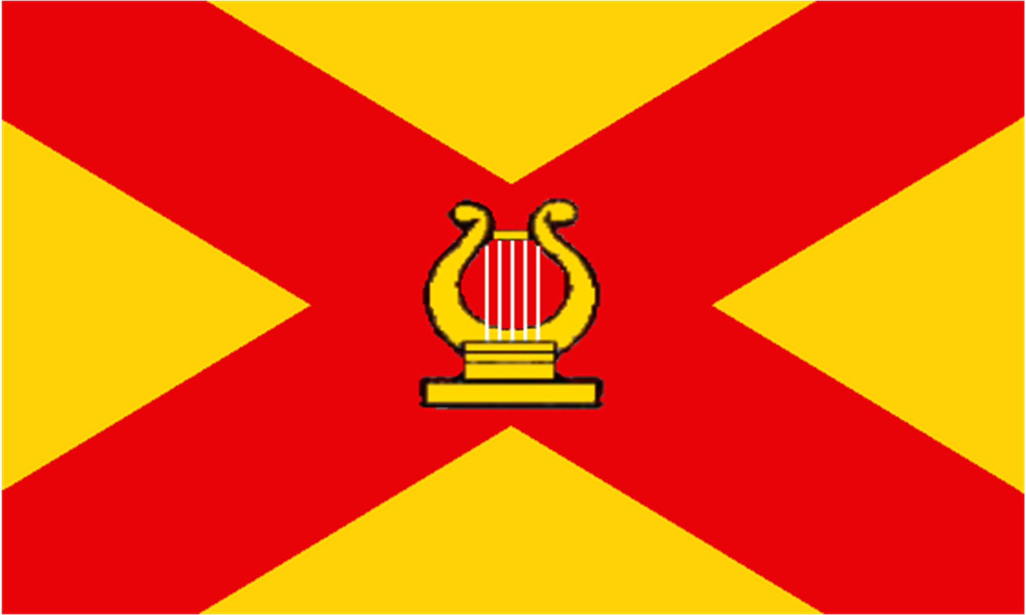
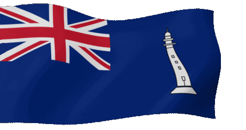
Commissioners' Flag of the NLB
In Salutem Omnium
For the Safety of All
In Salutem Omnium
For the Safety of All
 Update: 01-03-2025