

 Update: 01-03-2025


Place of the lighthouse
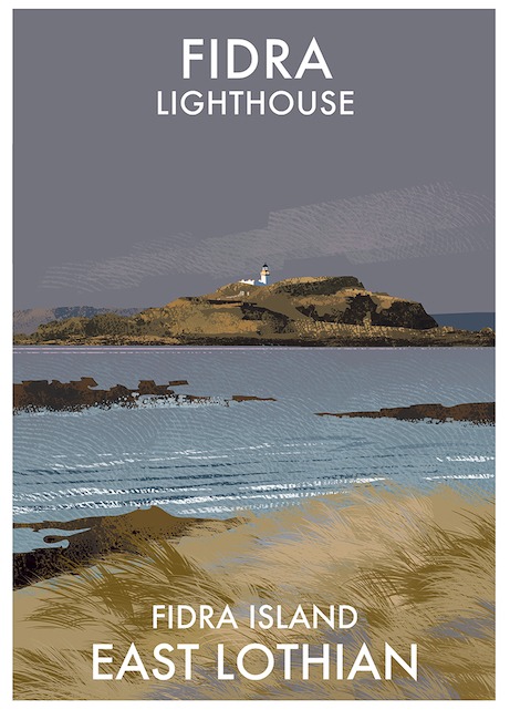
Fidra (archaically "Fidrey" or " Fetheray" is an uninhabited island in the Firth of Forth, four kilometers north-west of North Berwick, on the east coast of Scotland. Like the other islands near North Berwick, Fidra is the result of volcanic activity around 335 million years ago. Fidra is the result of volcanic activity about 335 million years ago. Fidra consists of three sections; a hill at one end with the lighthouse on top, a low-lying area in the middle, and a rocky hill at the other end. The island's name believed to be Old Norse in origin, referring to the large number of bird feathers were found there. Like the nearby Bass Rock, it has a substantial seabird population. The island is a Royal Society for the Protection of Birds (RSPB) nature reserve. Remotely operated cameras on the island send live pictures to the watching visitors at the Scottish Seabird Centre in North Berwick. From Yellowcraig beach in the village of Dirleton you can see Fidra just a few hundred meters away (see also the video in the right column).
The Lighthouse
After expropriation of the land, the lighthouse on Fidra was built in the traditional Scottish manner by Thomas and David Stevenson and first lit in 1885.
The round brick lighthouse is painted white and is three stories high. It has a golden yellow painted gallery supporting a black lantern house. A 2-storey house with adjoining workshops have been built on the tower (see plan below - right). On the black and white postcard (right column) the building is still completely intact. But in the top photo, in the right column, you can see that these workshops have been removed.
Interesting is the cable-drawn narrow-gauge railway from the concrete quay on the east side to the lighthouse for the supply of goods. Most of the rails and sheaves used to guide the winch wire are still in place. Embedded in the concrete but strongly overgrown by vegetation.
The light displays a group of 4 flashes every 30 seconds and was one of the first offshore lights to become fully automatic in 1970. In 1970 this was the NLB's first lighthouse to be converted into an unmanned automatic installation (monitored from St Abbs Head lighthouse). Before that, the lighthouse was connected to the public electricity supply and telephone cables by means of underground sea cables.

Operational status
Inchkeith, Fidra and Elie Ness lighthouses have been maintained by the NLB since the early nineteenth century. But it was considered that as the lights were within the boundaries of the Forth Ports harbour they were eligible for transfer to the Forth Ports under the terms of the Merchant Shipping Act 1995. On 21 June 2013, operational responsibility and ownership of three lighthouses in the Firth of Forth were transferred from the Northern Lighthouse Board (NLB) to Forth Ports PLC.
Additional information
The number of breeding puffins on the island has recently increased due to the removal of an exotic plant, mallow (Lavatera arborea). It is likely that it was planted by lighthouse keepers for use as toilet paper and for its medicinal properties.
The bush blocked the entrances to the breeding burrows and by 1996 the number of burrows occupied had fallen to around 400. After cleaning by RSPB Scotland staff and volunteers, over 1,000 burrows are now occupied in 2016.
On the island are ruins of an old chapel or lazaretto for the sick. This chapel was dedicated to Sinterklaas in 1165. Part of the south wall with a very weathered lancet window of rustic charm is the main surviving architectural feature, but is sadly on the verge of collapse. The building appears to have had little hewn stone in its construction, reminiscent of the statues of monks who erected the building from stones collected on the island. The tip of the lancet is soft imported stone, sharpened to form the arch. Unfortunately, because it is soft, it is very eroded.
In the 12th century, the island was part of the barony of Dirleton, granted by King David I to the Anglo-Norman John de Vaux. The de Vaux family built a stronghold known as Tarbet Castle on the island, but in 1220 William de Vaux gave Fidra to the monks of Dryburgh Abbey, in the Borders. His successor built Dirleton Castle, on the mainland, as a replacement home.


