Place of the lighthouse
The Isle of Graemsay lies between mainland Orkney and the Isle of Hoy to the south. The island is 409 ha in area and is mainly farmland. The island is the western approaches to Scapa Flow via Hoy Sound. Scapa Flow is an important inland sea, used in the first and second world wars and until 1956 the home port of the British navy. On the east side, the island is separated from the mainland by Clestrain Sound.
The geology of the island is ancient red sandstone from the Devonian period, with two volcanic faults. On the north coast there is granitic schist, a great rarity in Orkney.
Graemsay is surrounded by strong tidal races. The two lighthouses on the island are not named, as you might expect, after the island of Hoy, but after the water of Hoy Sound on the west side of the island of Graemsay. The Hoy Sound High lighthouse (Taing of Sandside) is on the northeast side and the Hoy Sound Low lighthouse (Point of Oxan) on the northwest side of Graemsay Island.Building of the Lighthouse
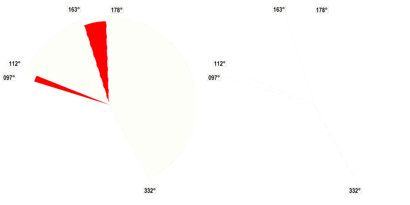
Warning systems (Light, Fog horn, Radar Beacon)
Operational status
Information about the lighthouse specific
Additional information
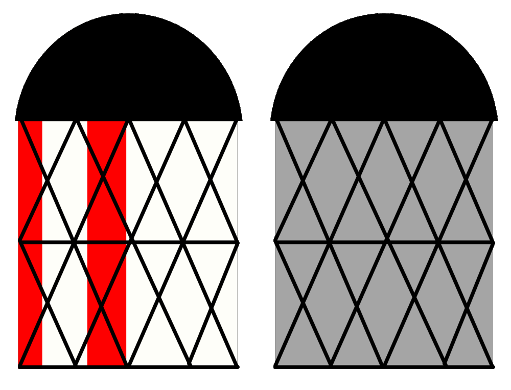
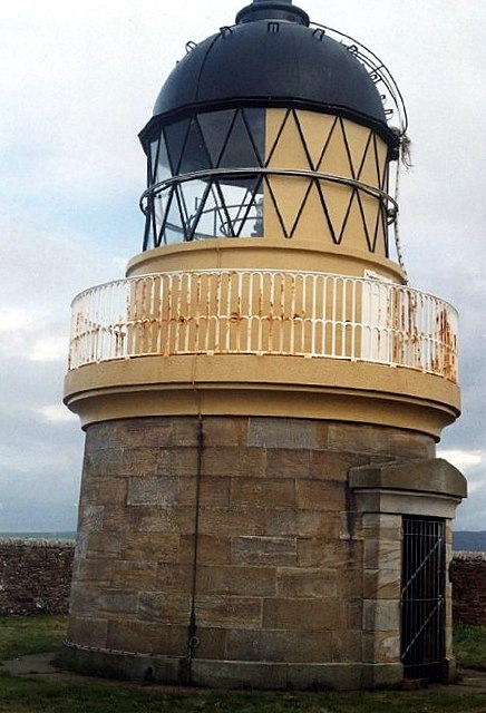
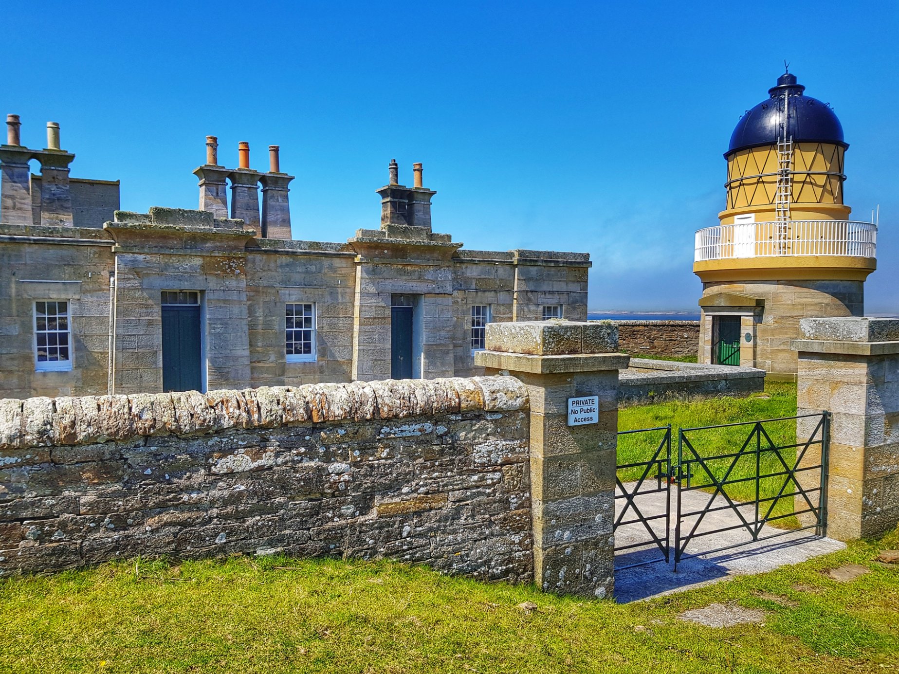
Description Alan Stevenson, 1851. Single stage with lantern, circular-plan short tower standing within rectangular-plan court to N of single storey, 7-bay rectangular-plan symmetrical Egyptian-style keepers' accommodation block with coal- and dry stores to left (S). Tower: stugged sandstone ashlar with polished dressings. Base course; wide cavetto band course below cast-iron railings around balcony to lantern. Keepers' block: stugged sandstone ashlar. Base course; blocking course. Massive, tapered, raised door surrounds with band course below cavetto cornice; raised central panel to blocking course above. TOWER: massive raised door surround with tapered pilasters supporting cavetto cornice with shallow pediment to S side of tower at 1st stage; part-glazed 2-leaf timber-panelled doors; window (blocked ) to N at 1st stage. Boarded door to S side of lantern; small occuli around lantern base; triangular glazing to lantern ; domed roof above. INTERIOR: not seen, 1998. KEEPERS' ACCOMMODATION: E (PRINCIPAL) ELEVATION: window in bay to centre. 2-leaf boarded doors with small-pane fanlights in raised bays flanking. Window in recessed penultimate bays flanking. Window in each raised bay to outer left and right. W (REAR) ELEVATION: window in each of 2 recessed bays to centre. Window in each raised bay to outer left and right. N AND S (SIDE) ELEVATIONS: blank. STORES: single bay dry store with boarded door to E abutting main block to S. Single storey, 2-bay coal stores with 2 evenly disposed boarded doors to N, sited at right angles to dry store, to S of main block. 12-pane timber sash and case windows. Platform roof; tall, tapered stacks with band course and cavetto cornice, grouped 2-4-2; tall cans; cast-iron rainwater goods. INTERIOR: not seen, 1998. BOUNDARY WALLS: court defined by low stugged ashlar sandstone wall with ridged ashlar cope; rubble wall enclosing large rectangular-plan garden around court; square-plan corniced, stugged sandstone ashlar gatepiers to E of keepers' accommodation block; store with 2-leaf boarded doors incorporated into garden wall to S; cast-iron tapered, fluted sundial base in garden. Statement of Special Interest Standing at the west end of the island, Hoy Low, as its name suggests, is a good deal shorter than its towering partner which stands on Graemsay's east coast. Its existence, however, is vital as it forms one of a pair of 'leading lights' which, when lined up, provide a safe course through the Sound into Stromness harbour. The light at Hoy Low is described as 'isophase' white every 3 seconds, and despite the tower's relatively low height of 12 meters at an elevation of 17 meters, its range is 15 miles. As at Hoy High, the Keepers' accommodation block is constructed from fine sandstone ashlar and is almost identical, if smaller, in plan and elevation. The east side consists of a row of 4 bedrooms with 2 kitchens flanking a visiting officer's room to the west. Stylistically it bears identical massive door surrounds with cavetto cornices and blocking courses, reminiscent of Egypt or of Assyrian temples. The tall, tapered stacks are grouped identically to those at Hoy High and achieve a similarly dramatic effect. A 2nd World War defensive battery was subsequently erected adjacent to the group. Hoy Low was automated in 1966. Graemsay is an island in the western approaches to Scapa Flow, in the Orkney Islands of Scotland. The island has two lighthouses. Geography and geology[edit] Graemsay lies between Hoy and Stromness on Mainland Orkney, separated from the Mainland by Clestrain Sound. The island is 409 ha (1.58 sq mi) in area and is mainly crofted. The island's geology is Old Red Sandstone of the Devonian period, with two volcanic faults. On the north coast there is granite-schist, a great rarity in Orkney. Graemsay is surrounded by strong tidal races, known locally as roosts. An Orkney Ferries service, usually operated by MV Graemsay, links the island with Stromness and Moaness on Hoy. Graemsay is sometimes referred to locally, as 'Orkney's green isle' due to its lush green vegetation cover.



 Update: 01-03-2025

